Looking for design inspiration?   Browse our curated collections!

Previous Image

|

Next Image
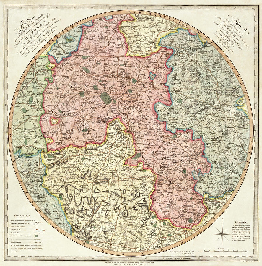
Map Drawing - A new and accurate map of the country for twenty five miles round the University of Oxford 1805 by G Pawley and Samuel John Neele

A new and accurate map of the country for twenty five miles round the University of Oxford 1805 is a drawing by G Pawley and Samuel John Neele which was uploaded on May 19th, 2021.

More from This Artist

View Profile

Antique Map of Jerusalem #3 by Vintage Maps
Map of Chicago Gangland by Bruce Robert
Antique Map of Jerusalem #28 by Vintage Maps
Map of India by Vintage Maps
Map of Asia 1723 by Vintage Maps
World Map #3 by Vintage Maps
World Map 1844 by Vintage Maps
Railroad Map of the Eastern States and New England 1856 by Vintage Maps
Ethnolinguisitic Map of Africa by Vintage Maps
County Map Of Texas, 1864 by Samuel Augustus Mitchell
Portuguese map of Greece and The Agean Sea 1630 by Vintage Maps
Map of the Republic of Colombia 1886 by Vintage Maps
Strategic Map of Our War with Spain 1898 by Vintage Maps
Antique Map of Jerusalem #5 by Vintage Maps
Antique Map of Jerusalem #15 by Vintage Maps
Antique Map of Jerusalem #32 by Vintage Maps
Cartoon Map of the Current World Situation by Vintage Maps
Ancient Map of Korea by Vintage Maps
Towanda, Pennsylvania 1880 by Vintage Places
Parkersburg West Virginia 1861 by Vintage Places

Comments

There are no comments for A new and accurate map of the country for twenty five miles round the University of Oxford 1805.   Click here to post the first comment.

Recently Viewed

A new and accurate map of the country for twenty five miles round the University of Oxford 1805 by G Pawley and Samuel John Neele
Previous Image Next Image